


A sprawling and fast-intensifying winter storm is expected to unleash heavy snow, high winds, and treacherous travel conditions across a huge portion of the United States beginning today, setting the stage for what forecasters warn could become one of the most disruptive early-season events in years. Millions of Americans—many still returning home from Thanksgiving gatherings—are now bracing for widespread delays both in the air and on the roads as the system sweeps from the Plains into the Midwest and the Great Lakes.
Winter Storm Watches were posted overnight across a broad belt of the country, including Illinois, Wisconsin, Iowa, Missouri, Indiana, Michigan, Nebraska, South Dakota, and Minnesota. All told, the alerts span a region home to nearly 50 million people. Meteorologists warn that the storm’s combination of moisture, cold air, and strong wind could make travel “very difficult to nearly impossible” at the height of the event, particularly late Friday through Saturday.
Forecasters are tracking a corridor of potentially high-impact snowfall, with many areas projected to receive six to twelve inches of accumulation—and locally more. Central and northern Illinois, eastern Iowa, southern and eastern Wisconsin, and lower Michigan are among the areas most likely to experience the heaviest snow bands, with some communities possibly topping eight to ten inches by the time the system exits. Regions directly north of Interstate 70 and those along and south of Interstate 90 are at the highest risk for rapid accumulation.
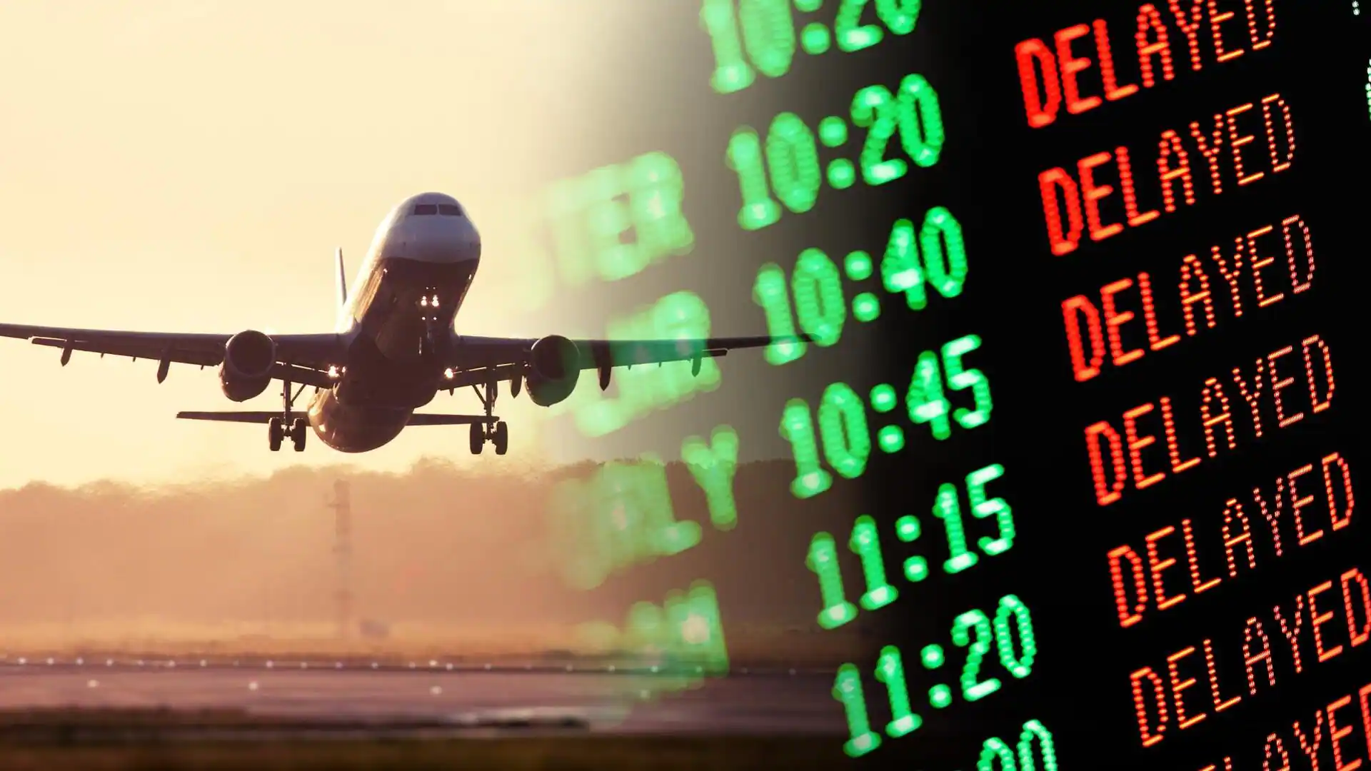
The timing couldn’t be worse. Millions who traveled for Thanksgiving are returning home, while airports and highways were already congested before the first flakes began to fall. Chicago, Milwaukee, and Grand Rapids have issued ground-delay advisories and early warnings of de-icing operations for both Thursday night and Friday morning. Airlines have begun proactively canceling and delaying flights, hoping to get ahead of the storm rather than risking mass last-minute disruptions.
Officials at the National Weather Service have urged travelers to delay departures if possible. Those who must be on the roads are encouraged to prepare emergency kits, slow down, and expect significantly extended travel times. Bridges, overpasses, and untreated rural roads may become hazardous within minutes once snow begins to fall and winds begin to pick up.
A Widespread Impact Zone
The storm’s footprint stretches far beyond the Midwest’s major metro areas. Accumulating snow or icing is possible across central Kansas, the Ohio Valley, and even into portions of the Appalachians. Some forecast models indicate that the wintry mix could approach the mid-Atlantic and New England coasts later in the weekend, though confidence in snow reaching coastal cities remains low.
Parts of Missouri and Arkansas—including the Ozarks—may see light icing that could exacerbate dangerous travel conditions, even if snowfall remains limited. In West Virginia and Virginia, higher-elevation regions could encounter slick roads and freezing precipitation capable of causing spinouts and local power interruptions.
Another significant concern is wind. Gusts of 25 to 40 mph may accompany the heavy snow, leading to areas of blowing and drifting that reduce visibility to near zero at times. These conditions create additional hazards for both motorists and airline operations.
The storm is expected to first take shape over the Plains today, gaining strength as it pushes east toward the Midwest by Saturday. The heaviest snow totals are currently being projected north of an approximate line from Macomb, Illinois, to Bloomington-Normal, with accumulations of eight inches or more increasingly likely. Areas south of Interstate 70 could still see totals around five inches, which combined with wind could cause significant travel headaches.
State-by-State Breakdown
In Wisconsin, confidence is extremely high—70 to 95 percent—that areas along and south of I-90 will receive at least six inches of snow. The initial focus appears to be southwest Wisconsin, extending through the Fox Valley and into Green Bay. Snowfall may come down heavily enough at times to overwhelm plows, making roads impassable in some stretches until crews can catch up.
Nearby, northeast Iowa and portions of far southwest Wisconsin also lie in the projected path of the storm’s most intense snow bands. Rapid accumulation is expected where the strongest moisture and cold air overlap.
Further east in Michigan, the situation grows more complex. The approaching winter storm is expected to combine with lake-effect dynamics, especially along the Lake Michigan shoreline. Ottawa and Muskegon counties may end up with eight to eleven inches by the end of the event, thanks to an additional boost from lake-enhanced snow showers. Lower Michigan as a whole is preparing for a weekend filled with whiteout bursts, dangerous roads, and widespread delays.
Northwest Indiana and northeast Illinois—including much of the greater Chicago metro—are under Winter Storm Watches for six inches or more. Some neighborhoods may experience higher totals if the storm’s track drifts slightly north. Northern Indiana and northwest Ohio could be dealing with snow and ice well into Sunday afternoon, resulting in a prolonged disruption not just for travelers but for local businesses, holiday shoppers, and public services.
Farther west, cities like Sioux Falls have posted watches predicting six to ten inches across northwest Iowa and southwest Minnesota. Eastern South Dakota may see four to eight inches. Omaha and Des Moines, meanwhile, are preparing for a mix of snow and light ice paired with gusty winds—conditions that can create especially treacherous stretches of highway where packed snow rapidly turns to ice.
Post-Holiday Disruptions Expected
With Thanksgiving crowds still working their way back home, even modest delays could quickly intensify into widespread backups. Air travel demand remains unusually high, and many major airports in the Midwest serve as connecting hubs for passengers traveling nationwide. A few inches of snow at O’Hare or Milwaukee Mitchell can ripple through the entire system, leading to cancellations hundreds of miles away.
Road travel may prove equally challenging. State transportation agencies throughout the Midwest have urged drivers to stay informed, avoid unnecessary travel, and create extra space between vehicles. Snow could begin accumulating faster than plows can keep up in some regions, especially at the height of the storm Saturday afternoon and evening.
Airlines have warned that rebooking options may become limited if flight schedules are heavily disrupted throughout the holiday weekend. Passengers are urged to check their flight status frequently and plan for the possibility of extended airport waits.
Cold Blast to Follow
As the storm pushes into southern Canada by late weekend, temperatures will plunge across much of the eastern United States. Millions who enjoyed unseasonably warm conditions earlier in the week will face a sharp drop, with some areas experiencing temperatures 10 to 15 degrees below average. Parts of Georgia and northern Florida are even facing freeze warnings—an unusual occurrence immediately following Thanksgiving.
AccuWeather forecasters are already warning residents across the Appalachians, the Great Lakes, and upstate New York to brace for a mix of snow, sleet, and freezing rain starting late Saturday and continuing into Sunday. Northern Ohio, western and central Pennsylvania, and much of New York state could be dealing with a messy wintry combination that lingers into the start of next week.
A Significant Early-Season Storm
While winter weather is not uncommon in late November, this system stands out for its size, intensity, and timing. Meteorologists caution that the rain-snow line in southern sections could still shift in the coming 24 to 36 hours, meaning some areas currently expecting snow could instead see ice, and others anticipating minor impacts may receive more significant snowfall.
Still, confidence is high that the Midwest will see one of its most notable early-season storms in recent memory—one poised to affect millions and complicate one of the busiest travel periods of the year.
Residents across the storm zone are urged to stay tuned to local forecasts, prepare for possible delays, and avoid unnecessary travel until conditions improve.

Emily Johnson is a critically acclaimed essayist and novelist known for her thought-provoking works centered on feminism, women’s rights, and modern relationships. Born and raised in Portland, Oregon, Emily grew up with a deep love of books, often spending her afternoons at her local library. She went on to study literature and gender studies at UCLA, where she became deeply involved in activism and began publishing essays in campus journals. Her debut essay collection, Voices Unbound, struck a chord with readers nationwide for its fearless exploration of gender dynamics, identity, and the challenges faced by women in contemporary society. Emily later transitioned into fiction, writing novels that balance compelling storytelling with social commentary. Her protagonists are often strong, multidimensional women navigating love, ambition, and the struggles of everyday life, making her a favorite among readers who crave authentic, relatable narratives. Critics praise her ability to merge personal intimacy with universal themes. Off the page, Emily is an advocate for women in publishing, leading workshops that encourage young female writers to embrace their voices. She lives in Seattle with her partner and two rescue cats, where she continues to write, teach, and inspire a new generation of storytellers.